
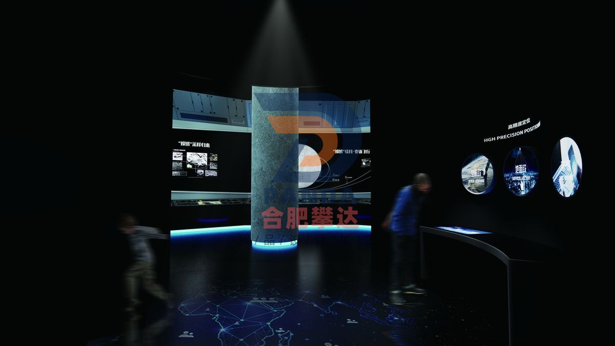
High-precision positioning (Beidou satellite positioning experience)
Aerospace · Interactive
- DimensionsSubject to on-site plan
- PresentationInteractive
- PricingQuoted by manufacture spec
High-precision positioning (Beidou satellite positioning experience) is a hands-on, mechanical & electromechanical interactive exhibit manufactured by Hefei Panda for science centers, children’s museums, discovery centers, STEM learning centers and family entertainment centers. Engineered for durable, robust, low-maintenance, high-traffic gallery installation, it turns abstract scientific concepts into direct, interactive visitor exploration. Hefei Panda is a global exhibit manufacturer exporting hands-on science displays to 50+ countries, with in-house engineering, fabrication, installation and commissioning.
Exhibit Summary
High-precision positioning (Beidou satellite positioning experience) is a Interactive interactive exhibit in the Aerospace category, designed for science centers, children’s museums, discovery centers, STEM learning centers and family entertainment centers. Built as a hands-on, mechanical & electromechanical display, it turns an abstract scientific concept into direct, interactive visitor exploration, and is engineered for durable, low-maintenance, high-traffic gallery use.
Scientific Principle
The displays let the audience grasp the positioning principles, positioning, navigation and timing, application fields and other related knowledge of China's Beidou satellite via Beidou satellite positioning games and multimedia hands-on queries.
Operation
The Beidou Satellite Navigation System is a global satellite navigation system independently constructed and operated by China focusing on the needs of national security and economic and social development. It is an important national spatio-temporal infrastructure that provides all-weather, all-weather, high-precision positioning, navigation and timing services to global participants. The Beidou system mainly consists of three parts: space segment, ground segment and user segment. The space segment consists of a number of geostationary orbit satellites, inclined geosynchronous orbit satellites and medium earth orbit satellites; the ground segment includes several ground stations such as main control stations, time synchronization/injection stations and monitoring stations, as well as inter-satellite link operation and management facilities; the user segment includes basic products such as chips, modules and antennas of Beidou compatible with other satellite navigation systems, as well as terminal products, application systems and application services. Since the Beidou system provided services, it has been widely used in transportation, agriculture, forestry and fishery, hydrological monitoring, meteorological forecasting, communication timing, power dispatching, disaster relief and reduction, public security and other fields. The displays focus on demonstrating the high-precision positioning function of Beidou satellites, creating an immersive experience space in the annular area.
Export-Ready Features
- Durable, robust construction for high-traffic gallery environments
- Low-maintenance electromechanical design with reliable, safe components
- Custom sizing, theming & multilingual labeling available
- OEM & turnkey exhibit solutions with full project management
- Overseas shipping, export documentation & on-site installation supported
- Shipped to science centers and museums in 50+ countries