
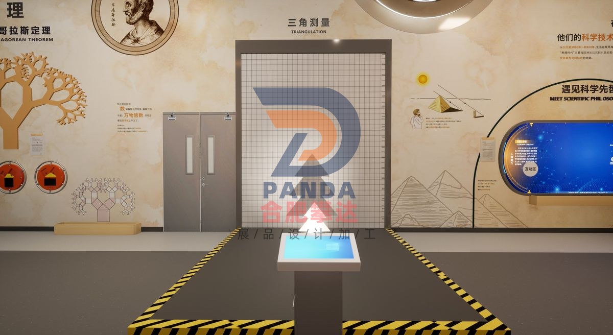
Triangulation
Mathematics · Interactive
- DimensionsSubject to on-site plan
- PresentationInteractive
- PricingQuoted by manufacture spec
Triangulation is a hands-on, mechanical & electromechanical interactive exhibit manufactured by Hefei Panda for science centers, children’s museums, discovery centers, STEM learning centers and family entertainment centers. Engineered for durable, robust, low-maintenance, high-traffic gallery installation, it turns abstract scientific concepts into direct, interactive visitor exploration. Hefei Panda is a global exhibit manufacturer exporting hands-on science displays to 50+ countries, with in-house engineering, fabrication, installation and commissioning.
Exhibit Summary
Triangulation is a Interactive interactive exhibit in the Mathematics category, designed for science centers, children’s museums, discovery centers, STEM learning centers and family entertainment centers. Built as a hands-on, mechanical & electromechanical display, it turns an abstract scientific concept into direct, interactive visitor exploration, and is engineered for durable, low-maintenance, high-traffic gallery use.
Scientific Principle
Thales used the concept of similar triangles to find the height of the pyramid while studying in Egypt. The exhibition aims to allow the audience to personally participate in the concept process of this measurement, to appreciate the wonderful ideas of the science pioneers at that time in cleverly applying geometry to practice, and to grasp Thales's series of academic achievements before the world.
Operation
How Thales measured the pyramid: Thales used the concept of similarity of triangles to calculate the figure by measuring, and then measured and calculated the shadow of the pyramid. Through mathematical calculations, he successfully calculated the height of the pyramid. The specific measurement method is as follows. In order to measure the height of the pyramid (Y1), first erect a wooden stick (Y2) of known length, measure and compare the shadow of the stick (X2) and the shadow of the pyramid (X1), and you can approximately calculate the height of the pyramid (Y1), as revealed in the figure: Thales's other science achievements: (1) Proposed Thales' theorem, which reads: If A, B, and C are three points on the circumference of a circle, and AC is the diameter of the circle, then ∠ABC must be a right angle, that is, the angle of the circle opposite to the diameter is a right angle. This theorem was mentioned and proved in the third volume of Euclid's Elements. (2) Thales introduced Egyptian geodesy to Greece for the first time and developed it into a more general geometry. In addition to the above theorem, the following theorem is also considered to be proposed by Thales: the circumference is equally divided by the diameter; the two base angles of an isosceles triangle are equal; when two straight lines intersect, the opposite vertex angles are equal; the two angles of two triangles and the sides they include are equal, then the two triangles are congruent. (3) Thales introduced the idea of "propositional proof", that is, the thought process of demonstrating the authenticity of a certain proposition with the help of some axioms or propositions whose authenticity has been determined. It marks that human beings' understanding of objective things has risen from practice to theory, the correctness of mathematical propositions is guaranteed, and the relationship between mathematical theorems is revealed, laying the foundation for the further development of the mathematical discipline. Modern applications of triangulation: (1) Mount Everest survey. In 1847, the British Survey of India used the triangulation method to measure Mount Everest for the first time on the Ganges Plain, 322km away. The measured elevation was 8778m. In the current measurement process of Mount Everest, in addition to traditional triangulation methods, higher-precision measurement technologies such as GNSS observation technology, grid model technology, geoid model technology, gravity technology, and snow depth radar technology are also used. (2) Map drawing; (3) Water conservancy engineering survey; (4) Navigation survey; (5) Weapon ballistic measurement, etc. Triangulation in trigonometry and geometry is a method of measuring the distance to a target by measuring the angle between a target point and a known endpoint of a fixed datum line. Rather than directly measuring the distance to a specific location (trilateration). When one side length and two observation angles are known, the observation target point can be calibrated as the third point of a triangle. Triangulation can also refer to the precise measurement of very large triangular systems, called triangulation networks. This comes from the work of Willibur Snell in 1615-17, who showed how a point can be located from the perspective of three known points, measured at the new unknown point rather than at the previously fixed point. This problem is called reblocking. Survey error can be minimized when a large number of triangles have been built at the most appropriate scale. With this reference method, all points within the triangle can be accurately located. Until the rise of global satellite navigation systems in the 1980s, this triangulation method was used to accurately conduct large-scale land surveys.
Export-Ready Features
- Durable, robust construction for high-traffic gallery environments
- Low-maintenance electromechanical design with reliable, safe components
- Custom sizing, theming & multilingual labeling available
- OEM & turnkey exhibit solutions with full project management
- Overseas shipping, export documentation & on-site installation supported
- Shipped to science centers and museums in 50+ countries